About Country Silhouette
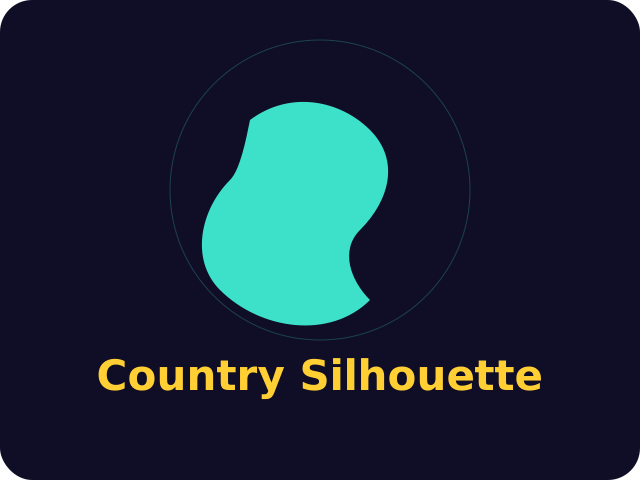
Country Silhouette is a daily outline puzzle. One country is drawn as a filled shape, with no name, no flag and no neighbours, and you have six guesses to say what it is. The country is chosen from the UTC date, so every player who opens the game that day sees the same silhouette. That is what makes the share card fair: you can compare a result without pasting the answer into the chat.
The shapes are simplified Natural Earth silhouettes, public domain, and they are already bundled in this site. The game does not call a map service while you play. After a miss it measures the great-circle distance between the representative centres of the two countries and draws an arrow from the country you named toward the answer. A long distance means you are still in the wrong part of the world. A short one means the next name should be a neighbour, not another continent.
The continent is withheld until the second guess, on purpose. Naming a huge country first is often the fastest way to learn which landmass you are on. From the fourth miss the puzzle also offers the finer region and the first letter. Practice mode deals a different outline and leaves the daily streak, and today's saved guesses, alone.
How to play
Press Play, then type a country and press Enter, or tap a suggestion. The up and down arrow keys move through the suggestion list, and Escape closes it. You can submit six names. Wrong guesses stay on the board with their distance, arrow and a rough percentage. Share copies the squares and arrows, not the country's name. Fullscreen gives the outline more room on a phone.
How to read an outline
Start with the proportions, not a familiar nickname. A long north-south ribbon can be Chile, Norway, Vietnam or New Zealand, and those four sit in different oceans. A compact inland block with a straight edge is often a surveyed border, which is a clue about the continent even before the hint appears. Island countries and archipelagos show as several separated fills. If the shape is mostly one mass with a scatter of specks, look at where the specks sit: a tail to the east reads differently from a tail to the north.
Use the first guess as a probe. Italy tells you about Europe, Brazil about South America, India about Asia, and a wild neighbour wastes the arrow. When the distance falls under about a thousand kilometres, stop jumping regions and list the countries that actually touch. The arrow is measured from your guess toward the answer, so follow it instead of bouncing to the opposite side of the map. If two plausible names share a first letter, wait for the region line before you spend the one you cannot take back.
Tips
- Spend the first guess on a country whose continent you know cold, so the arrow has something to measure.
- A thin shape is a coast problem. A fat shape is a border problem. Do not treat them the same way.
- Under a thousand kilometres, name neighbours. Over five thousand, change continent before you change country.
- The percentage is only a reading of distance. The arrow is the part that tells you which way to walk.
- Practice outlines are not today's puzzle. Use them to learn a shape you missed, then come back to the daily.
Questions
Is today's country the same for everyone?
Yes. The outline is chosen from the UTC date, so every player gets the same country.
What do the distance and the arrow mean?
Distance is the great-circle gap in kilometres between the two countries' representative centres. The arrow points from your guess toward the answer.
When does the continent hint appear?
After the second guess. A later miss also names the region and the first letter.
More Geography Games · Arcadily Originals.
Who it suits
Country Silhouette suits a short daily sitting and a longer practice run. It is an Arcadily Original, made for this site, and the controls in this guide are the ones the game uses. An account is optional. The result stays in this browser, and a signed-in player syncs that save with the other Arcadily puzzles.